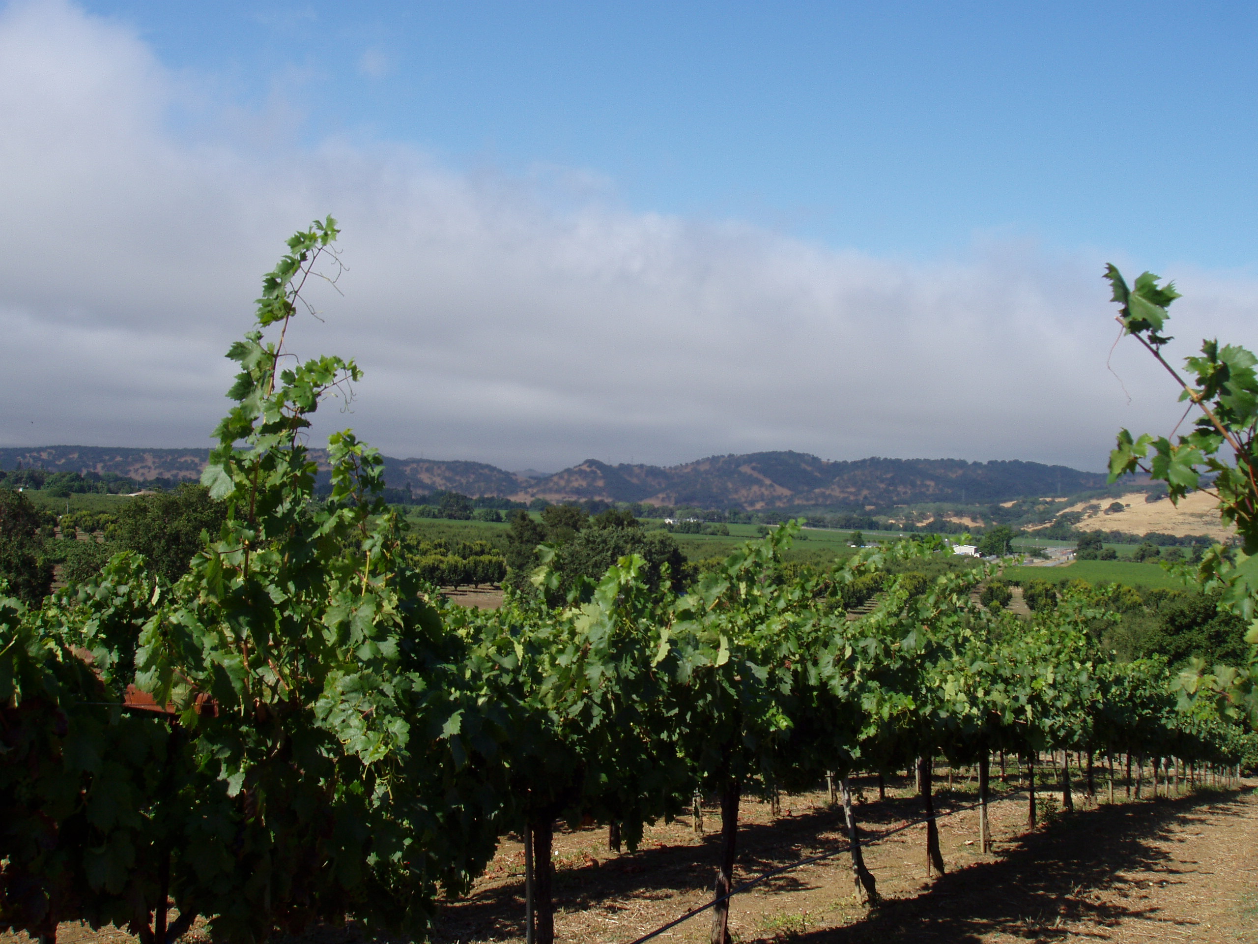
Geography:
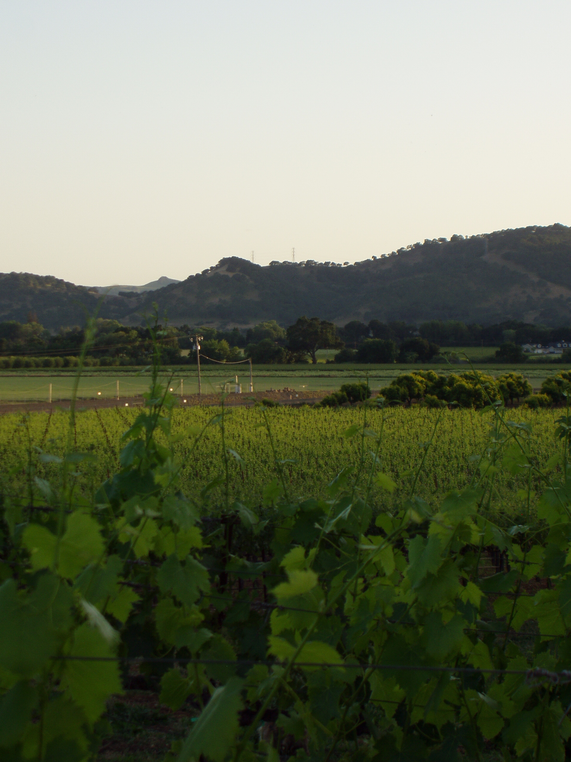
- Suisun Valley lies within the southern end of two ranges of the Coast Range, the Vaca Mountains to the east and the Mt George Range to the west. Suisun Valley terminates in the south at the marshlands of Suisun Bay. To the north Suisun Valley rolls up into Wooden Valley at the Napa County line.
-
Length: approximately 8 miles Width: approximately 3 miles at widest point Orientation: north to south, split mid valley to two fingers Drainage: Suisun and Ledgewood Creeks drain into Suisun Bay. - Climate:
- Suisun Valley lies within Coastal area climates characterized by cool moist winds blowing inland from the ocean and San Francisco/San Pablo Bay almost continuously from May through early Fall. Spring frosts often mitigated by proximity to Suisun Bay.
-
Climate Type: mid region III as classified by the University of California Davis system of heat summarization by degree days.0 Accumulation: averages roughly 3,350 degree days per year. mid valley avg 3,250 to 3,450 degree days per year upper valley avg 3,700 to 3,750 degree days per year
-
Suisun Valley consists of a mixture of soils, zoned within the valley floor, and additional none typed soils within the undeveloped hillsides. Soil types include:
Brentwood clay loam
San Ysidro sandy loam
Sycamore silty loam
Rincon clay loam - AVA Acreage:
-
Gross Acreage of AVA 15,000 Under Vine Acre Estimate 3,000